Autonomous equipment for sowing, growing and harvesting
Problem. When sowing and harvesting, errors inevitably occur due to human error. For example, missing sections. And during cultivation, such errors are associated with improper care of plants.
Solution. Unmanned tractors and combines work in an automated mode and carefully work out each area of crops with the help of artificial intelligence. At the same time, they also reduce the burden on staff.
Result. Growth of harvested crop up to 10%.
Identification of zones with a threat to crops with the help of drones
Problem. Agronomists who take care of crops do not always have time to track and prevent plant damage by various diseases and pests.
Solution. Special drones in the mode of constant automated monitoring monitor the condition of crops, recognize problem areas and identify the centers of their distribution.
Result. Growth of harvested crop up to 15%.
Increasing the accuracy of field yield forecasts based on historical data
Problem. “Manual” forecasts cannot take into account all the factors that affect the yield of each particular field. This leads to the fact that they cannot be relied upon when allocating resources and drawing up a work plan.
Solution. The AI model relies on historical crop data, monitors the impact of weather conditions, and adjusts its forecasts in real time for each field using satellite imagery. This allows you to immediately identify deviations and draw up an effective work plan.
Result. Growth of harvested crop up to 15%.
Calculation of the amount and composition of fertilizers for each square meter of fields
Problem. When applying fertilizers, standard technological maps are most often used, which do not take into account the characteristics of a particular field. As a result, in some areas, feeding is not enough, this affects the yield. And on others, there is an excess, accompanied by unnecessary expenses.
Solution. The AI model determines the type of soil and the ratio of its elements from satellite and drone images. This allows you to take into account the chemical composition of each specific field and more accurately distribute fertilizers over it.
Result. Growth of harvested crop up to 2%.
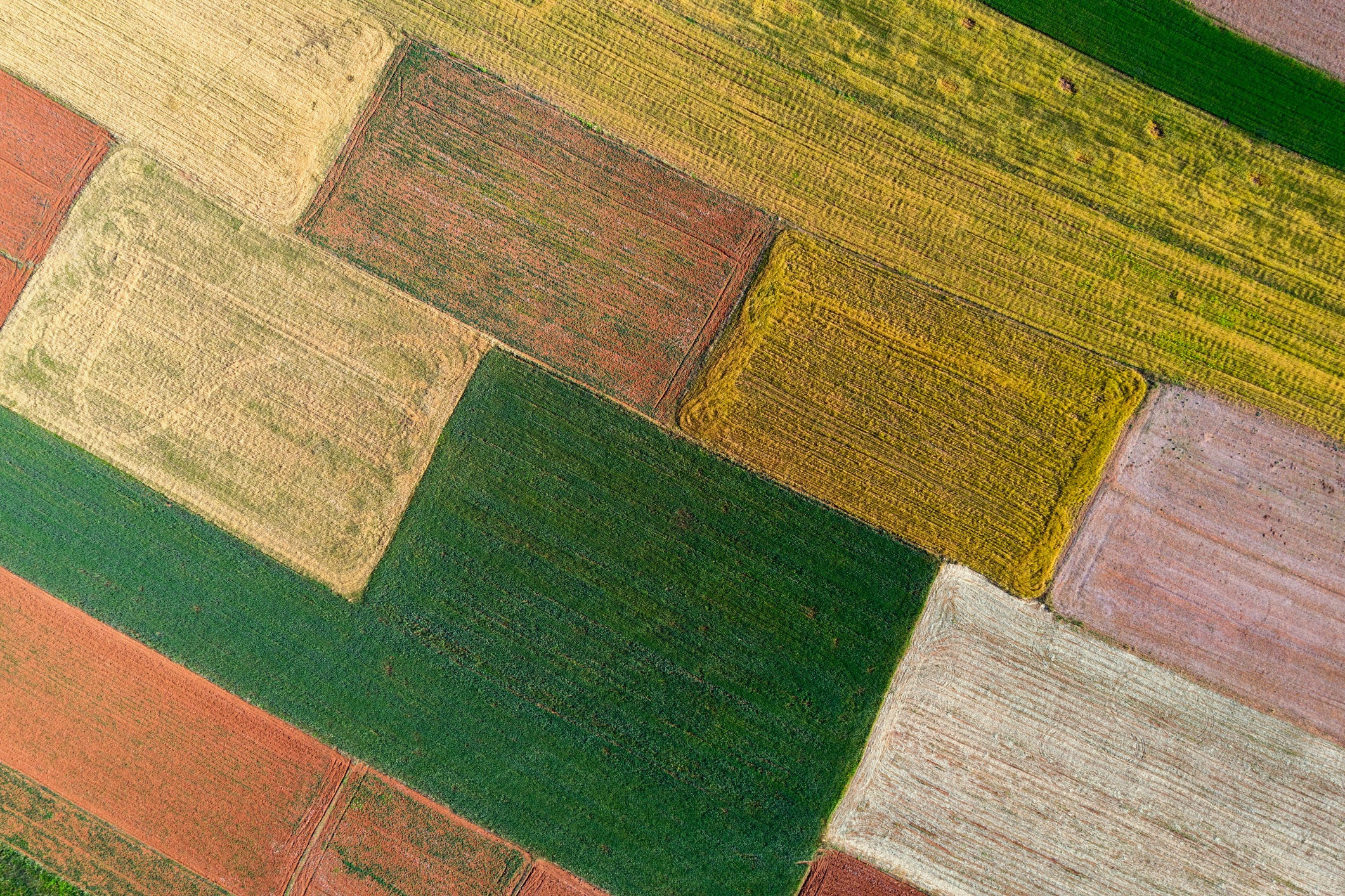
Field condition monitoring by satellite images
Problem. It is difficult for agricultural producers to assess the field remotely, to determine its boundaries and the level of weediness. As a result, the site begins to bring less yield, as it needs reclamation.
Solution. The AI model evaluates the state of the field from satellite images and helps determine the required level of investment in it.
Result. Growth of harvested crop up to 5%.


